Construction Progress Reporting
Project Managers with up to date information have improved decision making capabilities and can predict, reduce or eliminate errors impacting the project.
Factual Proof with Photos

Claims Processing
Processing of claims by the PM with up to date photos or orthomosaics provides proof of project progress. Independently provided capture provides confidence to both the Principal and Contractor.
Errors
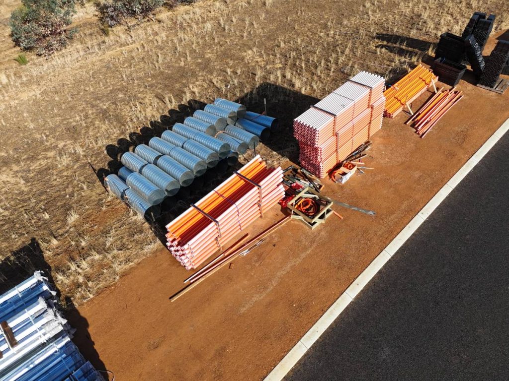
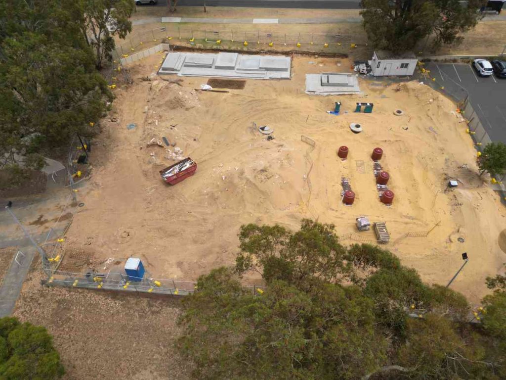
Mistakes and oversights can be costly to the project schedule and budget. Undelivered materials and equipment will mean that the next stage cannot progress. Detailed aerial photography can be used to determine the presence and even quantity of materials delivered. One mistake avoided can save thousands.
Communicate Effectively with Aerial Photography
Safety
Aerial photography captures more than just the progress of the project. Good site organisation greatly impacts on the overall safety of the site. Waterlogged areas, vehicles and equipment parked carelessly, lack of defined walkways and facilities increase the number of hazards on site and the likelihood of an incident. Drone imagery assists with tool-box meeting discussions and identification of hazards, particularly on large sites
Regular Progress Reporting
Particularly for Principals, the regular (weekly, fortnightly or monthly) RPA flights provide a time-stamp of progress to date. For Contractors, the regularity and visibility of the flight presents a reminder and incentive to maintain schedule and an organised and safe site.
Economic Resource Use and Documented Evidence
Delegation and Resourcing
Hands-on inspection and measuring of many critical specifications just cannot be done by drone. Inspectors and PM’s can target their time to check critical technical specifications and leave the overall site photography and videography to the pilot. PM’s can indicate areas of interest to have additional photos or videos at particular vantage points and distance to document any issues. Reduce the number of site visits: If your project site is remote to your office, perhaps a long drive or even a plane flight away, use aerial drone photography and videography to reduce your travel time and number of site visits.
Construction Records, Legal, Continuous Improvement
Photography and videography of the construction process can be an invaluable resource. Even after the concrete is poured, the roof is on, the excavation is backfilled, the photos are still proof of how and what was built. Future PMs and operational staff can see what is inside or buried during the construction process. A legal or contract issue may be averted by showing that the project was constructed properly and / or a variation did occur that remains undocumented elsewhere. PM’s and engineers can use the photos and videos to identify improvements for the next project or the next stage of the same project.